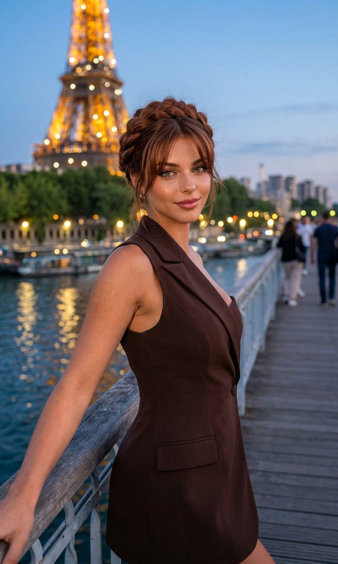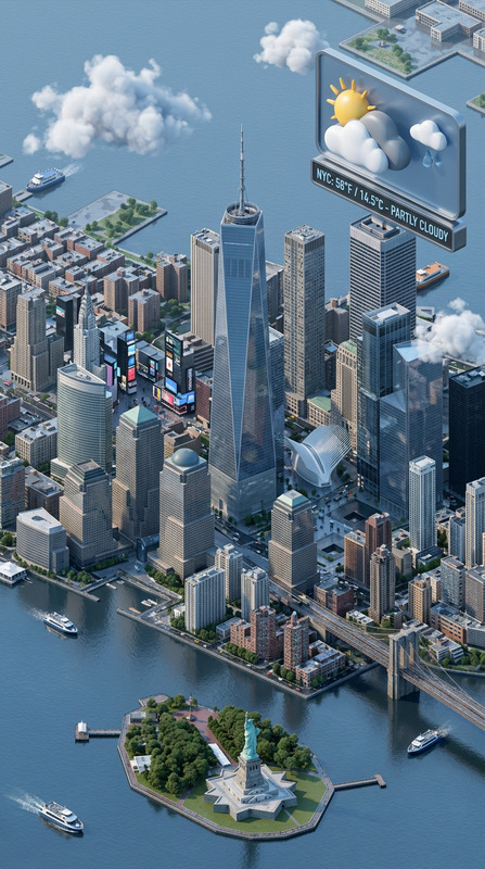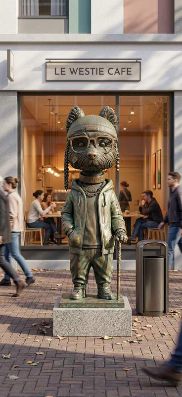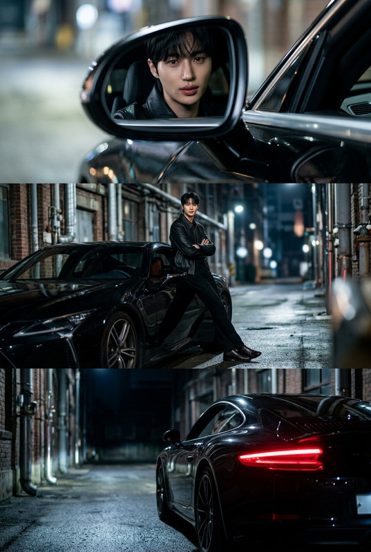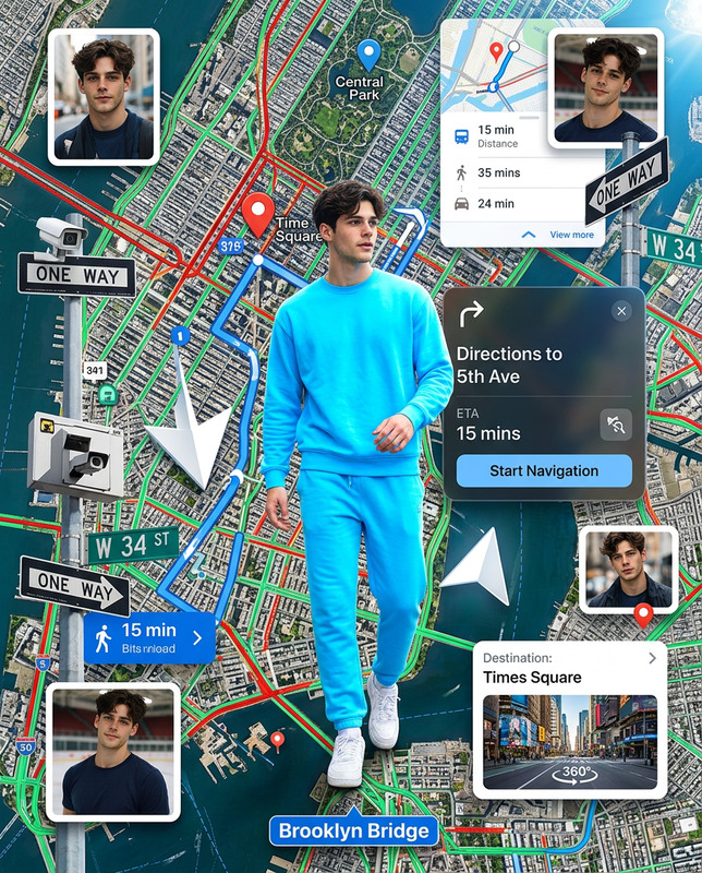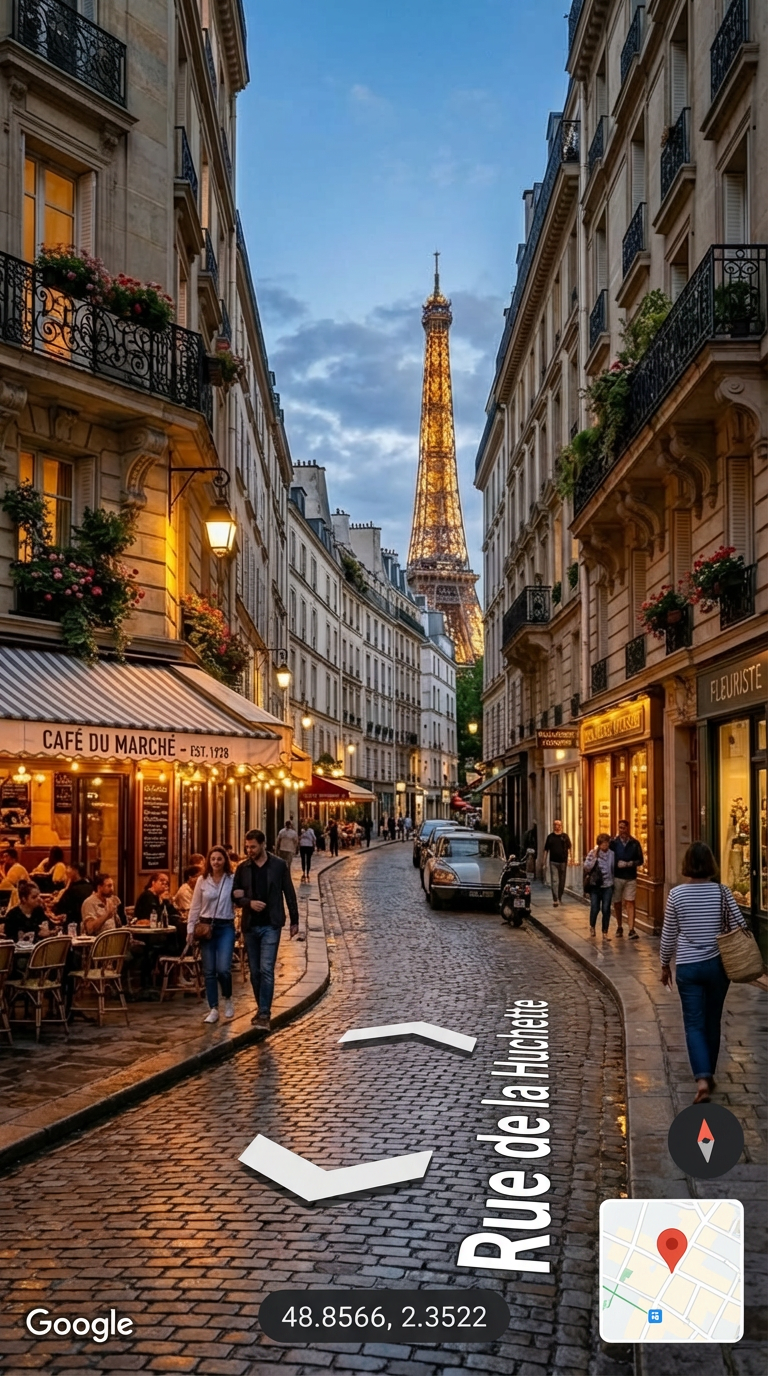
Map Lens – Paris Street
- Model
- Nano Banana Pro
- Image
- 768 × 1376 px
Prompt
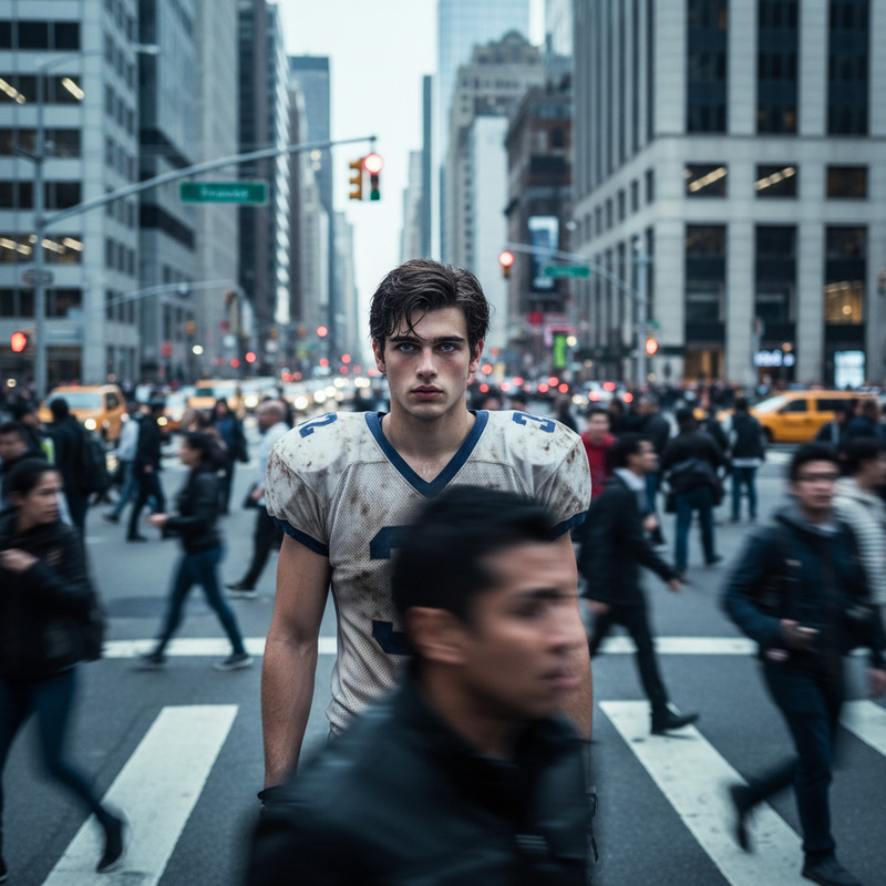
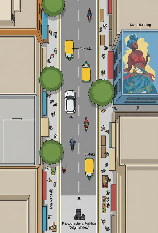
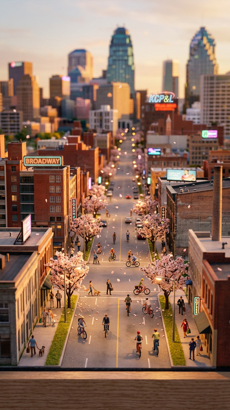
A photorealistic street-level view of a subject at coordinates 48.8566, 2.3522 (Paris, France), styled like Google Street View. The scene includes a visible Google Maps-style UI overlay with navigation arrows on the road and a street name label. Natural daylight, realistic urban environment, 360° perspective feel, clean and documentary-style composition.
Any aspect ratio
Overview
Immerse yourself in the heart of Paris with the Map Lens – Paris Street template. This AI Image Editor lets you transform any subject into a photorealistic street-level scene, complete with a Google Maps-style UI overlay. Ideal for projects that demand a documentary-style touch, it captures the city's urban essence beautifully.
What It Does
This template generates a realistic view of any subject in the vibrant streets of Paris. It employs the nano-banana-pro model to combine coordinates with stylistic frameworks resembling Google Street View. The result is an immersive image that includes navigation and street name overlays, perfect for creative storytelling and video generation.
Who It's For
Perfect for travel vloggers, content creators, and marketers who want to spice up their narrative with visually compelling graphics. It's also a useful tool for developers creating geographic education content or urban planners who need to visualize street scenes in their proposals.
Summary
The Map Lens – Paris Street template is your gateway to capturing the atmospheric essence of Paris in photorealistic detail. By leveraging the cutting-edge capabilities of the AI Image Editor, users can craft visuals that are not only vivid but also highly engaging for audiences worldwide.
How to Use
Choose the Map Lens Template

Customize Your Scene

Generate and Download

Use Cases
Travel Vlogging
- Create a virtual travel experience
- Add context to storytelling
Creative Storytelling
- Documentary-style visuals
- Immersive backgrounds
Educational Content
- Visualize historical locations
- Create geography lesson aids
Marketing Materials
- Catch audience attention
- Corporate narrative enhancement
Urban Planning
- Showcase proposals
- Enhance urban planning presentations
Best Practices
Focus on Subject Placement
Ensure your subject stands out in the scene by experimenting with placement and scale within the Google Maps-style overlay.Adjust Lighting for Mood
Play with the lighting adjustments to add mood or change the time of day, enhancing the narrative tone.Leverage Navigation Overlays
Use the navigation and street name overlays creatively to guide viewers through a story or geographic exploration.